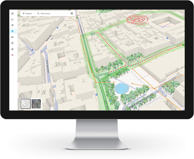
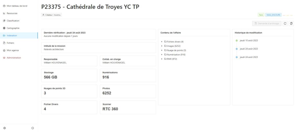
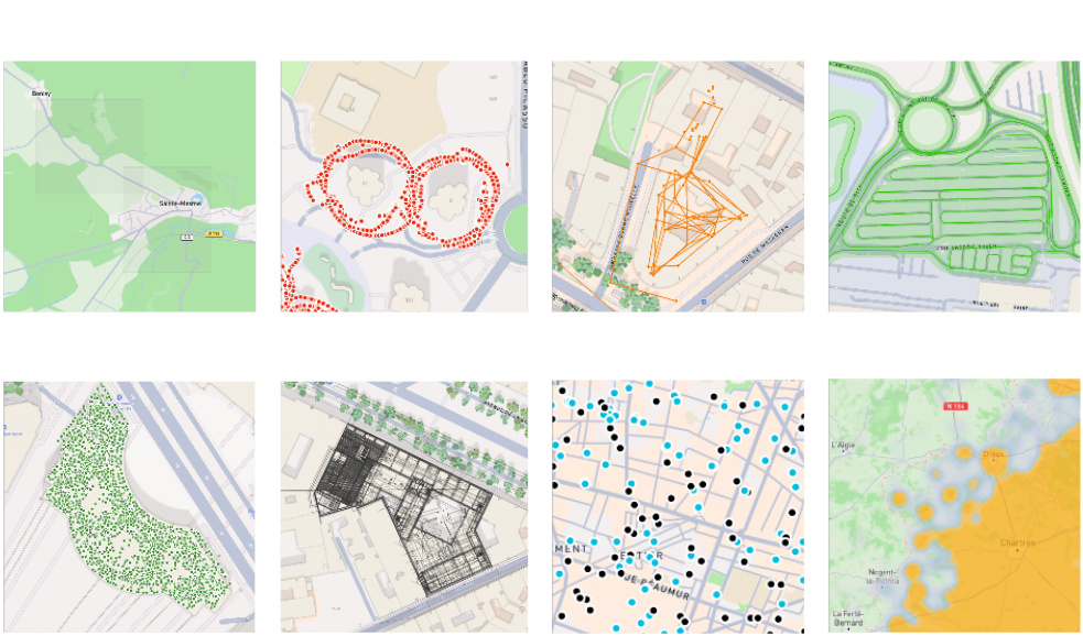
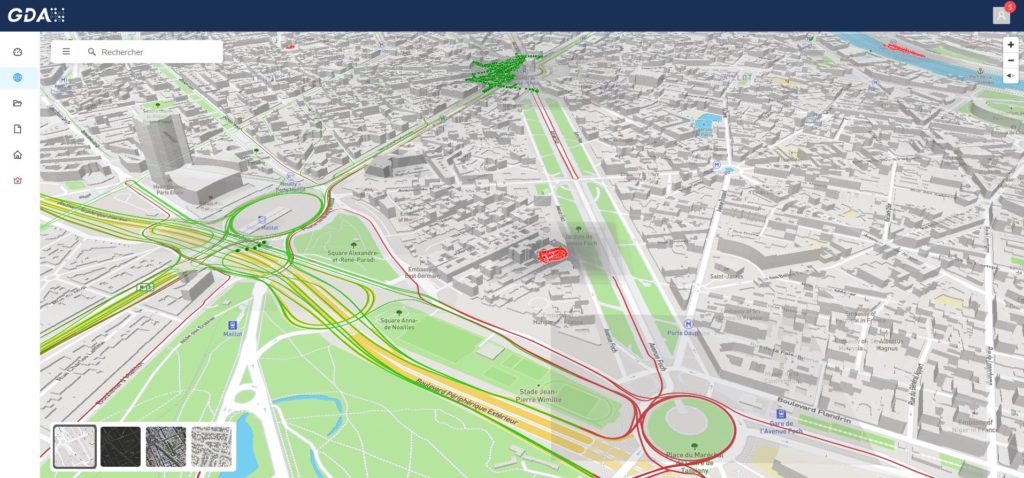
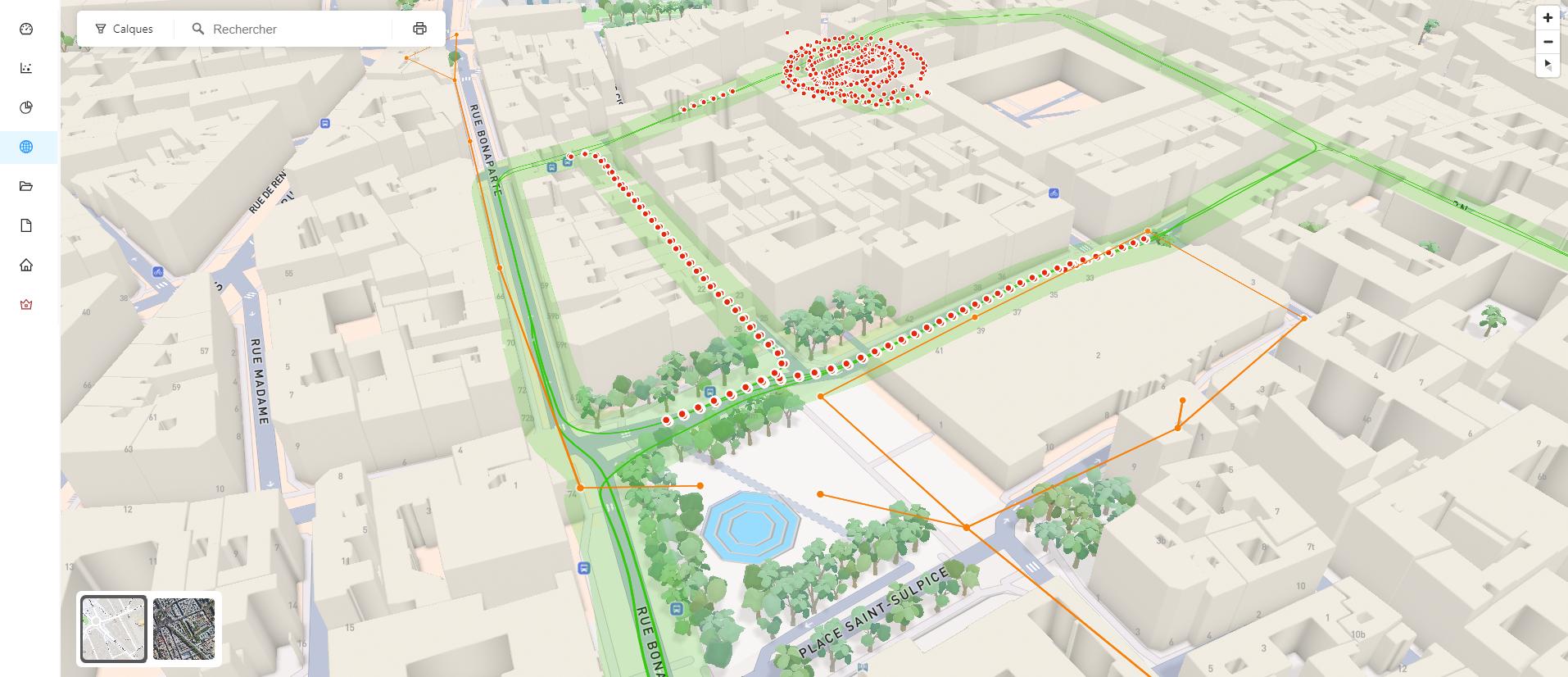
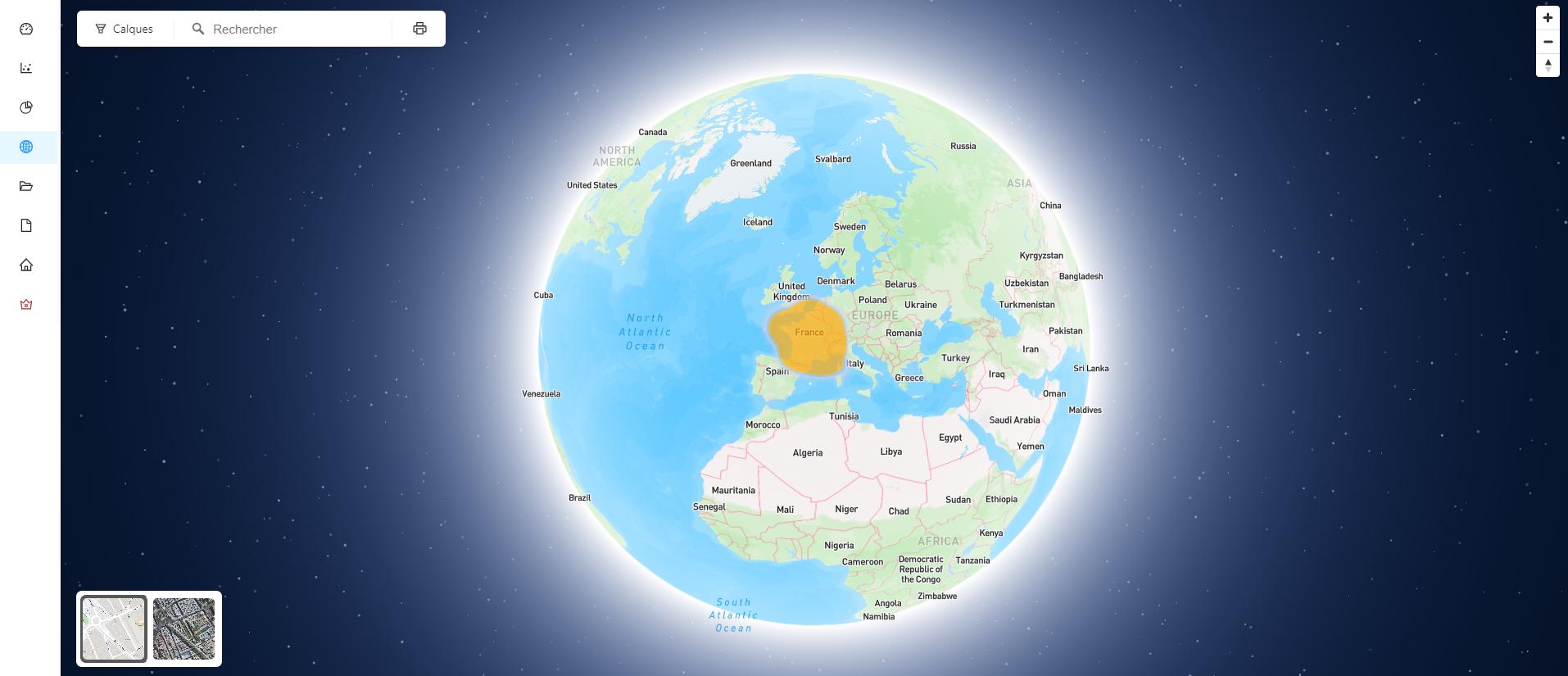
Optimize the management and visualization of your geospatial data.
GDA significantly improves search time for digital documents thanks to efficient indexing. Data is organized in a vertical architecture, thereby optimizing search and visualization without requiring a specific search focus. This allows users to quickly find relevant information across large data sets.
GDA offers advanced data visualization capabilities in 2D and 3D. Users can explore and interact with georeferenced maps, visualizing complex information clearly and intuitively. These visualizations help understand the spatial and temporal relationships of geospatial data.
GDA optimizes 3D data for use on online storage media and connects to various third-party databases, such as IGN and NVP benchmarks. This connectivity makes it easy to integrate external data, thus enriching the analyzes and visualizations carried out with GDA.
Discover how Geospatial Data Analyzer (GDA) can transform the management of your geospatial data. Request a personalized demo now to explore all the features of our innovative solution.