The basis of your innovative projects
Acquisition & Creation of data
At Integral 4, we understand that the accurate and reliable acquisition of geospatial data is essential to the success of any project. Using our cutting-edge technologies and expertise, we collect high-quality data that enables our customers to make informed decisions and optimize their operations.
Our Expertise in Data Acquisition
Our team of professionals uses a variety of methods and technologies to capture geospatial data in all environments. Whether on land, underground, in the air or on the water, we have the tools and expertise to obtain accurate and complete data. Our services include the use of total stations, laser scanners, drones, microlights and multispectral sensors.
In All Environments
Air
- Plane
- ULM
- Drones
Water
- Boat
- Water Drones
Ground
- Static/dynamic stations
Underground
- Static/dynamic stations
- Quadruped robots
From Macro to Micro
Our acquisition scales:


Satellites
Dist. : 500 km to 2000 km


Plane
Dist. : 1500 to 3000 m


ULM
Dist. : 300 to 1500 m


Drones
Dist. : 10 to 120 m


Ground stations / MMS
Distance : 1 to 150 m


RTI
Distance : < 1m

On all wavelengths:

OPTICAL

THERMAL

MULTISPECTRAL

LIDAR

BATHYMETRY

GEO-RADAR
Calculations & Data processing
To obtain high quality and precision surveys, we use two complementary digital field approaches.
Typically, for archaeological or heritage surveys, these two approaches are combined within the same survey.

3D Scanners
Using 3D scanners to capture precise and detailed data in three dimensions.
Avantages :
- Precision:Extremely accurate data capture
- Range: Ability to capture data from long distances
- Lighting: Works well in varying lighting conditions

Photogrammetry
Use of high-resolution photographs for a faithful and detailed visual representation.
Avantages :
- Costs: Generally more economical method
- Resolution: Very high resolution of captured images
- Visual quality: Excellent visual quality of renderings
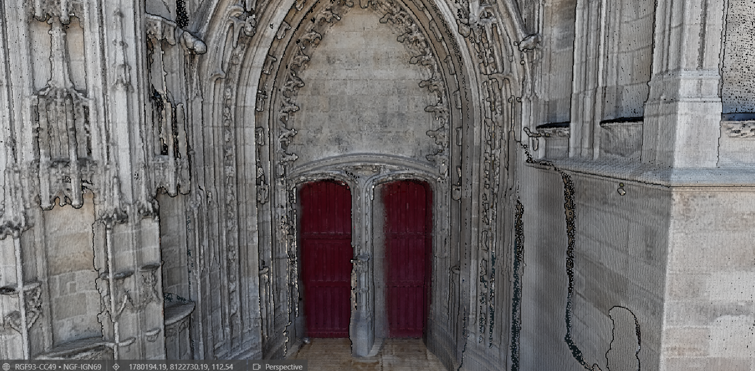
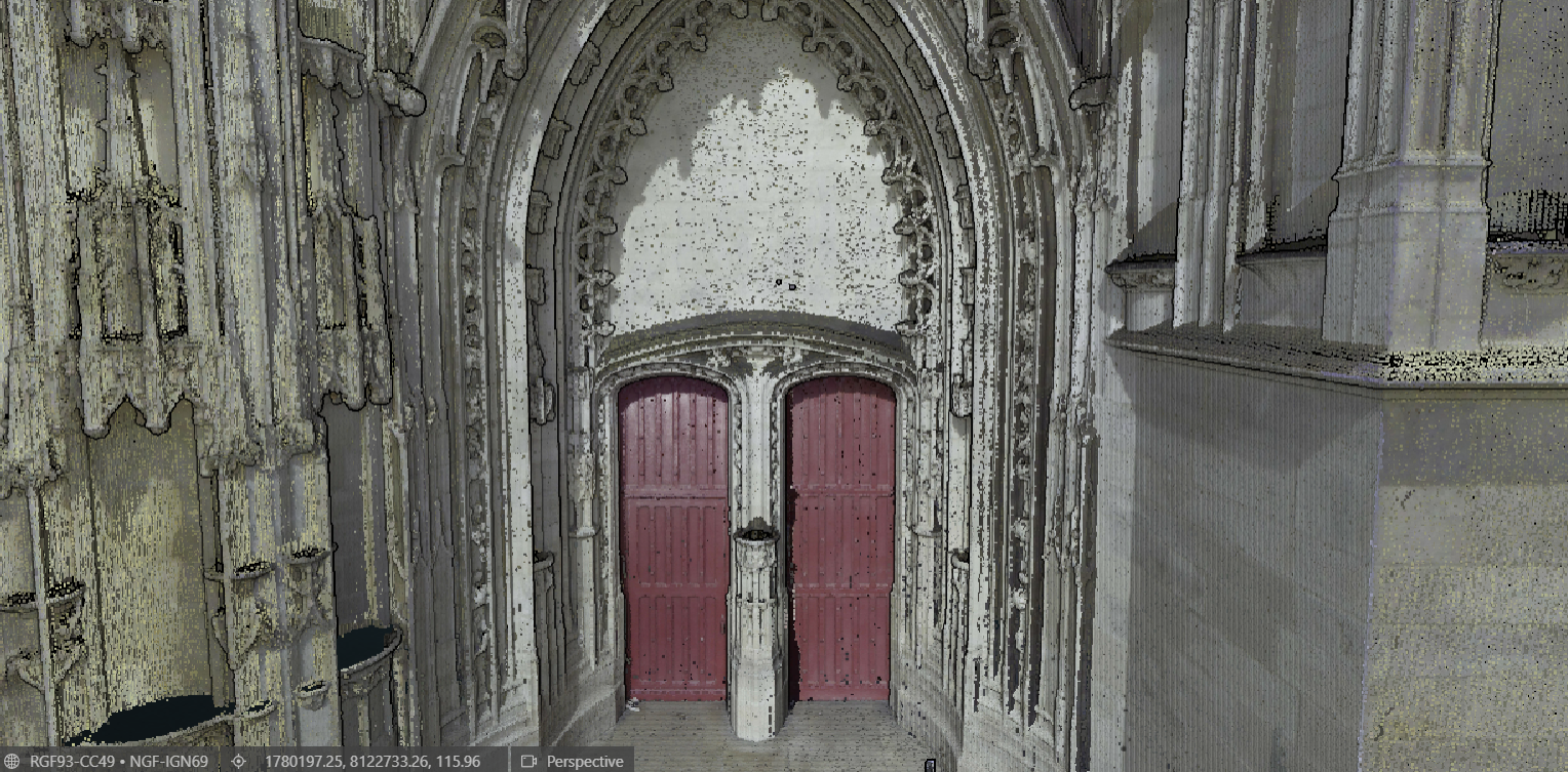
Double Acquisition
A double acquisition is carried out using both 3D scanners and photos, to digitally restore the subject of study as faithfully as possible.
Assembling this double acquisition in a single calculation makes it possible to qualify the data, taking advantage of the precision offered by 3D scans while enhancing the final renderings thanks to the resolution of the best current photo sensors.
Coordinate Systems Qualifications
Attachment
Positioning of digital twins in the territory.
Scale of Representation
Scaling the digital twin to building scale.
Georeferencing
Georeferencing according to a planimetric and altimetric coordinate system.
Geometric Qualification
Resolution
Density in number of points per cubic meter for a point cloud.
Precision
Dimensional accuracy, from a meter to a tenth of a millimeter.
Control
Self-monitoring digital twins to ensure accuracy.
