Make full use of your geospatial data with our expertise
Intelligence and Data Valorization
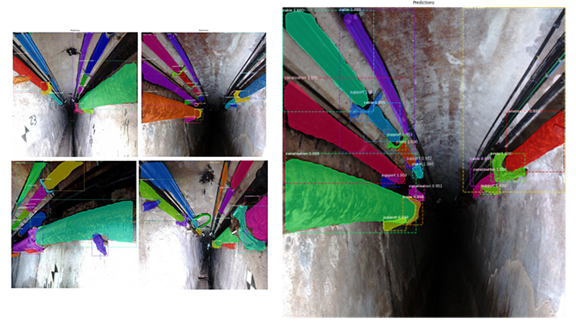
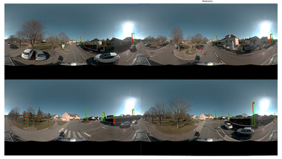
At Integral 4, we believe that data is only the beginning. With our expertise in geospatial data intelligence, we transform raw information into valuable, actionable insights. Our services allow our customers to better understand their environment and make informed decisions.
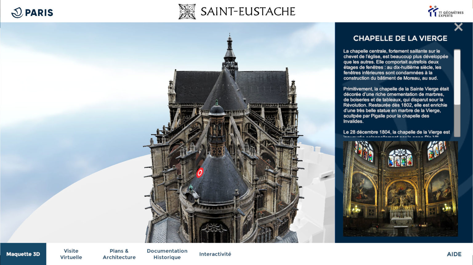
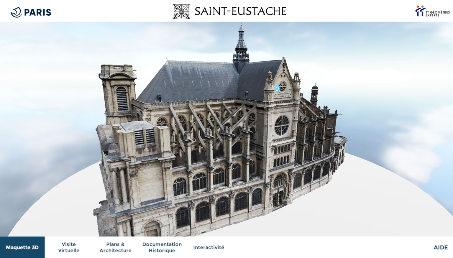
Creation of Digital Twins
The heart of our know-how
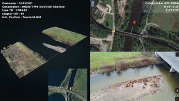
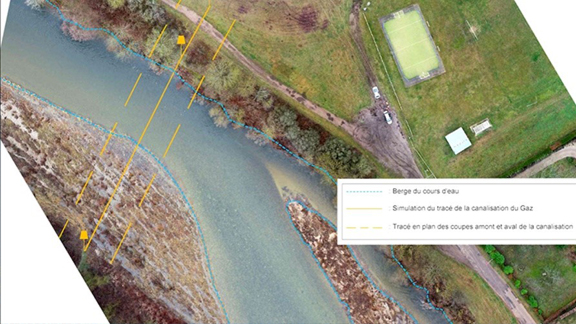
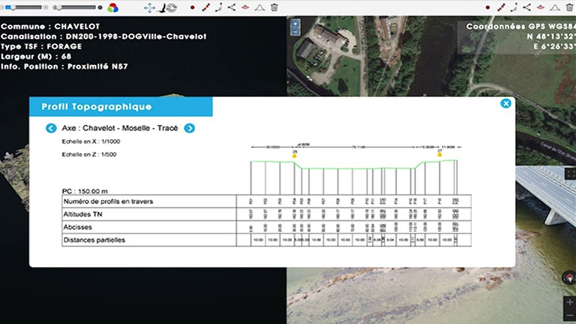
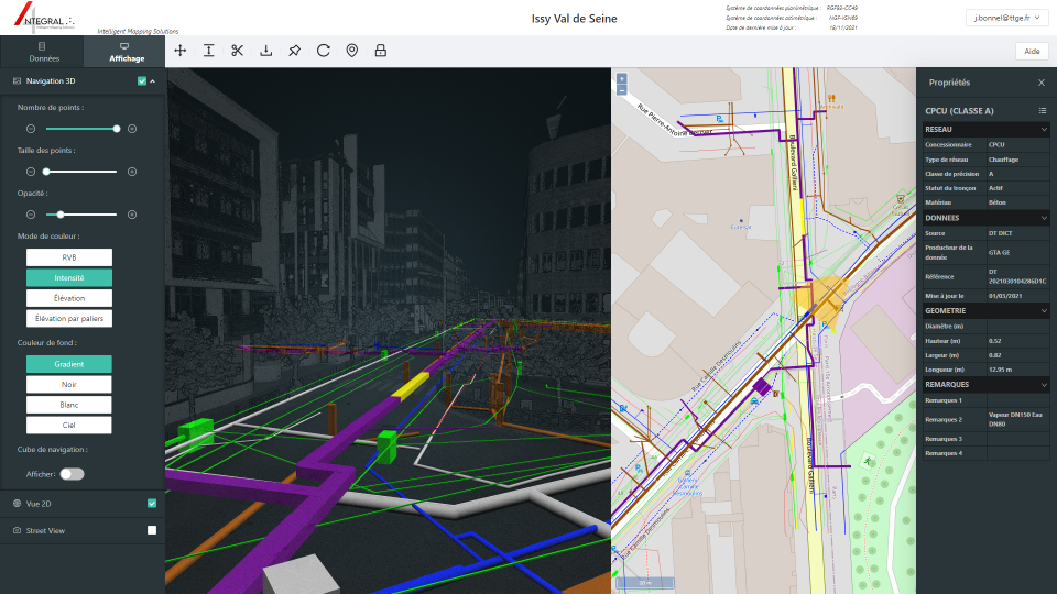
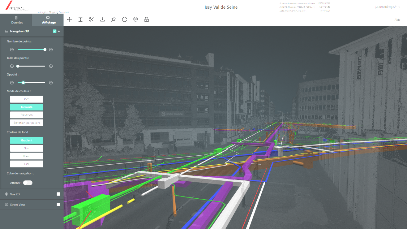
We create digital twins, faithful virtual replicas of your infrastructures and systems. These models allow you to simulate, analyze and optimize performance in real time. By integrating geospatial data and IoT sensors, we provide a complete and dynamic view of your operations, facilitating management and decision-making.
Point Cloud Classification
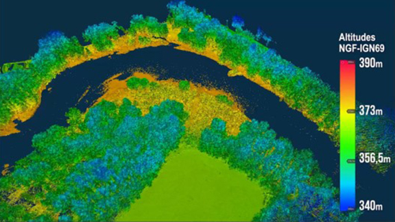
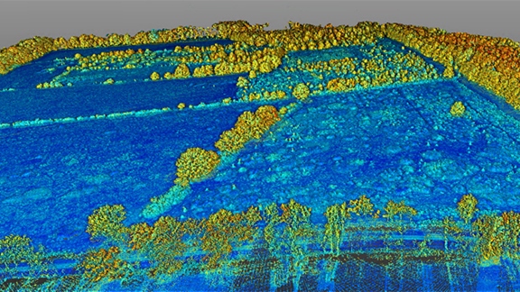
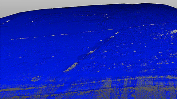
From multi-source data, we generate Digital Terrain Models (DTM) and Digital Surface Models (DSM) adapted to various projects. Our expertise covers various fields, from national altimeter reference systems to hydraulic and archaeological models. Our MNT and MNS are enriched and filtered to meet the specific needs of each project.
Augmented Reality (AR) and Virtual Reality (VR)
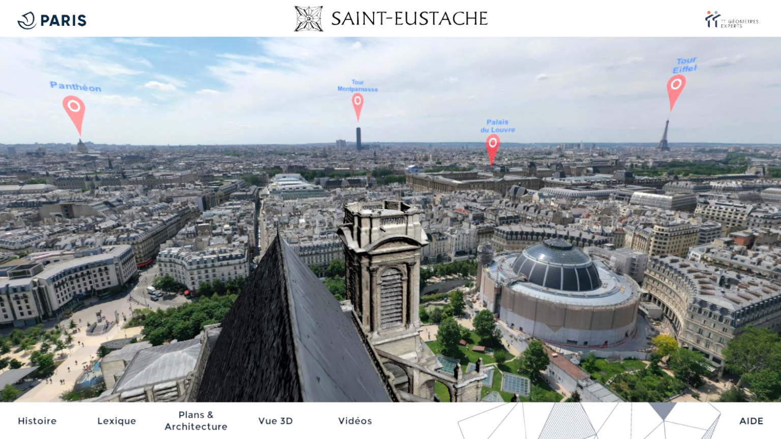
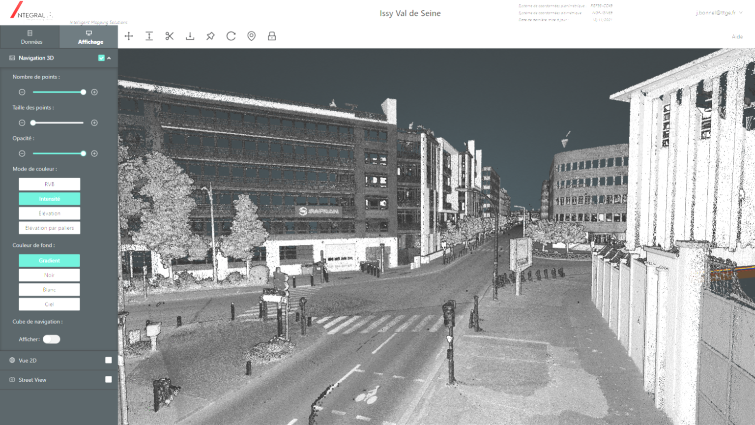
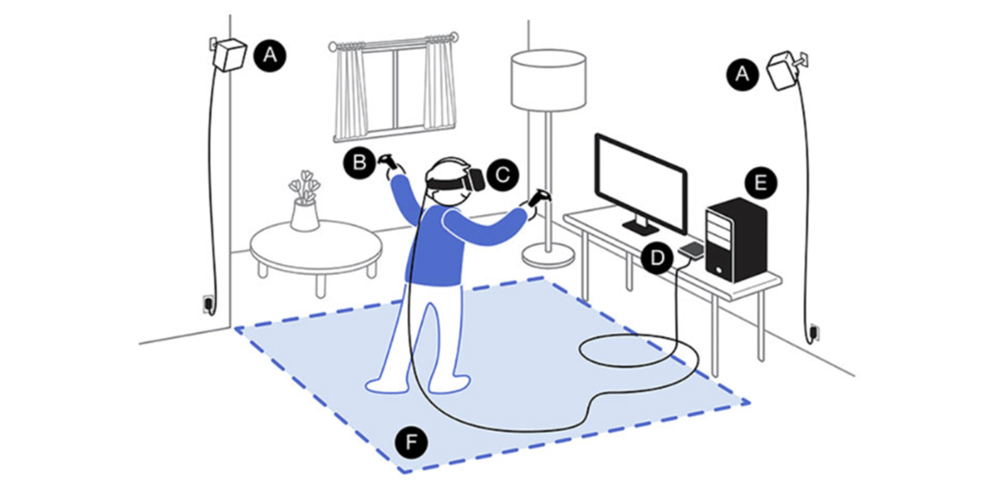
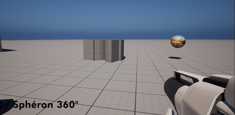
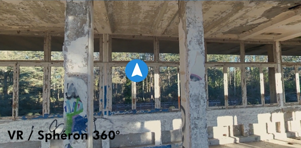
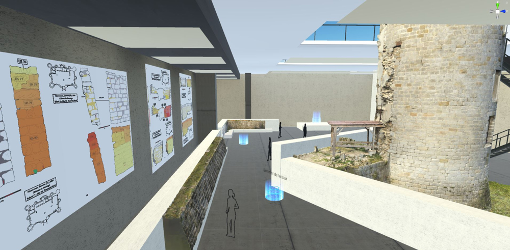
Drive deeper engagement and interactions with advanced 3D capabilities and seamless integrations. We deliver 3D and XR experiences that allow users to explore and analyze spatial relationships intuitively across a variety of devices, dashboards and applications.
Interoperability of Complex Multimodal Systems

We ensure interoperability between different systems and integrate complex multimodal data. Our expertise enables seamless communication between various tools and platforms, ensuring consistent and efficient information management.
Specific Projects
We offer customized solutions to meet the unique needs of each project. Whether for town planning, the environment, industry or other sectors, our services are designed to provide optimal results adapted to each particular situation.

